What’s the Hype with Sediment and Hyperspectral Imaging?
Can We Measure Water Quality from Space?

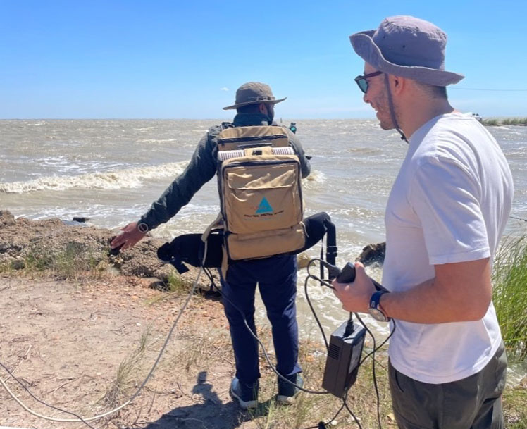
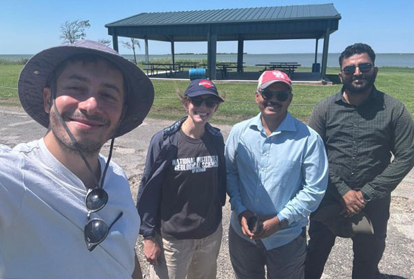
Decked out in a web of wires and hyperspectral imaging gear, slathered in sunscreen, and armed with plastic bottles of murky water, our field campaign might have looked to bystanders like a scene from Ghostbusters. Yet, rather than chasing paranormal phenomena, our fellow University of Houston researchers — Dr. Brandee Carlson, Dr. Shuhab Khan, and Ammar Hussain — were chasing something just as dynamic: the story of sediment and water quality along the Texas coast.
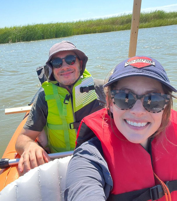
From the nutrient-rich mouth of the Colorado River to the expansive waters of Matagorda Bay, we weren’t alone in our journey. Dolphins, curious and playful, often trailed our small pontoon boat, observing our every move.

Their presence, along with the stark beauty of Texas estuaries like Matagorda, Trinity, and San Antonio Bays, reminded us why our work matters. These coastal waters, critical for ecosystem health and local fisheries, face mounting threats from climate change, sea level rise, increased erosion, and salinity shifts.
Our mission is to better understand and monitor the water quality of these estuaries, leveraging both traditional field methods and cutting-edge remote sensing technologies.
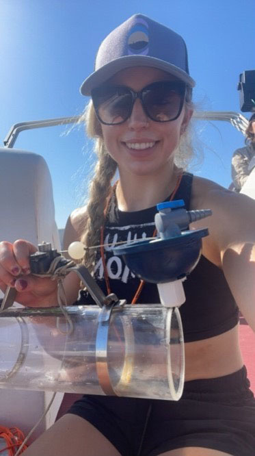
Each month, we collect in-situ water samples to measure total suspended solids and particulate organic carbon while simultaneously capturing hyperspectral and multispectral imagery. This allows us to investigate how the size and composition of sediment particles in the near-surface water column affect light scattering and reflectance. In essence, we’re looking to translate what remote sensors “see” into a precise understanding of water quality and sediment dynamics.

This work isn’t just about gathering data; it’s about creating a broader impact. Partnering with local boat captains, who have witnessed firsthand how human activity and climate change have reshaped these bays, has provided invaluable context for our research. These collaborations also underscore the importance of translating science into actionable knowledge that supports local communities.
Our field campaigns are no small feat—14-hour days under the sweltering sun, battling poor weather, and balancing packed schedules are just part of the challenge. But the payoff is worth it.

By validating remote sensing tools, such as ASD spectrometers, drones equipped with hyperspectral cameras, and satellite missions like PACE, Sentinel-2, and Landsat, we aim to significantly improve the efficiency and resolution of coastal water quality monitoring. With these technologies, we can detect changes in sediment levels and water properties across vast areas, and over time, build models that predict sediment transport and bathymetric shifts.
This approach is critical for managing the resilience of Texas’s coastal waters in the face of ongoing environmental shifts. Remote sensing, far from being just “images from above,” is a transformative tool that allows us to capture dynamic processes and convert them into actionable insights. The potential to mitigate the impacts of climate change on these vital ecosystems is an exciting prospect—and one that keeps us motivated despite the challenges.
Plus, there are the dolphins. Watching these incredible creatures glide effortlessly alongside our boat is a reminder of the interconnectedness of all life in these ecosystems. Does your desk job involve Cetacean encounters?
Nynaeve Phillipson, Research Staff and Recent B.S. Graduate, and Onur Karaca, Ph.D. Student
