Geology Major Jarely Mendez Conducts Winter Field Research in Guatemala with IRES
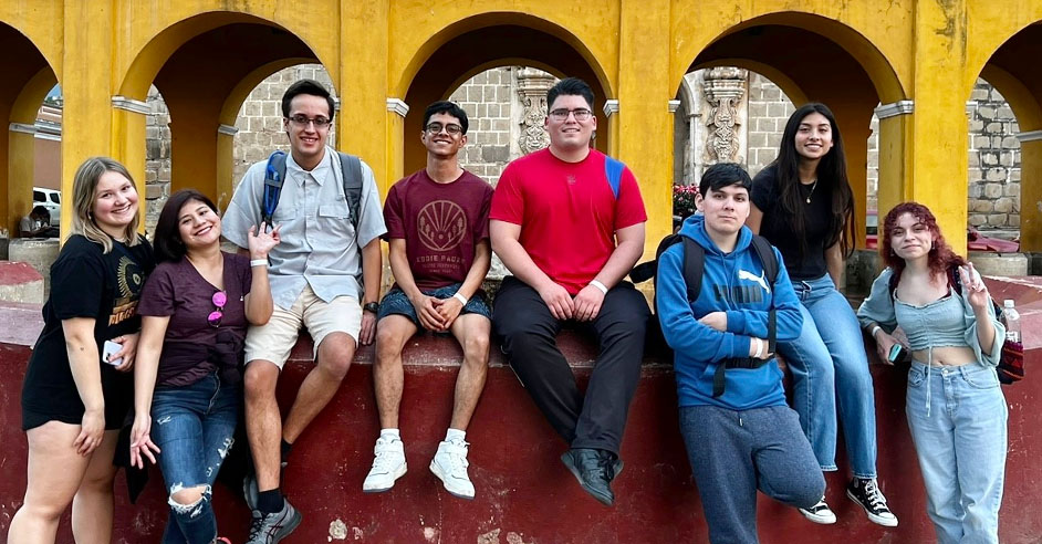
Over winter break, Jarely Mendez attended the Guatemala Geohazards International Research Experiences for Students (IRES) program, a 3.5-week experience that included a cohort of five U.S. undergraduate students and three from Guatemala. This program allows students to work in research teams and provides one-on-one faculty-student mentoring.
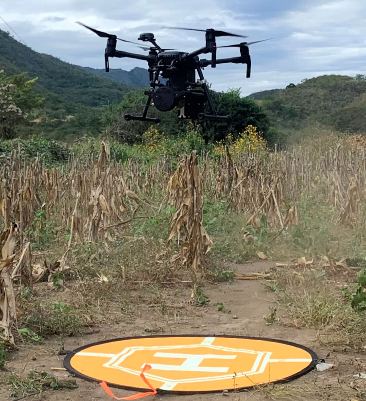
As a member of the Surficial Processes Team, Mendez focused on LiDAR drone surveying to understand the Motagua fault zone resulting from an earthquake in 1976. She learned how to set up base stations, including necessary antennas and GPS receivers.
Additionally, she planned drone paths that efficiently considered the surveying area, drone flight length, and flight time. The LiDAR data collected during these surveys will be used to create 3D point clouds, which will undergo classification before creating Digital Elevation Models.